
An easy, family friendly walk starting from the Woodgrove play area through the Upper Coochin Creek Environmental Reserve and back.
Suitability
Suitable for walking, jogging, push bikes. Disability access. Dogs on leash. 30 mins walk
Highlights
Start at the picnic area at Woodgrove Blvd, Beerwah. The picnic area has a nice view of the pond. Drinking water and BBQ is available. The play area is suited to young children. Watch out for Moorhens feeding along the banks of the pond and Cormorants drying their wings.
Walk south along Woodgrove Blvd and turn left (east) on the pathway that borders the Upper Coochin Creek Environmental Reserve. This reserve is a hidden gem in Beerwah with numerous birds and butterfly species to look out for as you walk along the path. Listen out for the Eastern Whipbird and keep a look out for the Orchard Swallowtail – one of the largest swallowtail butterflies in our region. There are a few benches and a seating area along the path to enjoy the shade under the Flooded Gums, Stringy Barks and Paper barks. Stop at the picnic bench on the corner of Pepper Tree way to head back. For a short way back, cut across Pepper Tree Way or Maidenhair Drive to Woodgrove Blvd. The walk may be extended from Pepper Tree by 200 or 300 m by continuing to Hickory Court. Veer left and follow the grassed walkway and bush track ending on a rocky outcrop by the Coochin Creek waterhole. This extension to the walk is only suited to walkers. Return the same way to re-join the path and cross the road.
Afterwards
A short drive takes you to the centre of Beerwah, visit the shopping centre, have coffee or lunch before continuing on your journey
How to get there
From Beerwah Town Centre, head south on Roberts Road. Past Beerwah State High School, turn left onto Woodgrove Blvd. Continue for 200m, the Woodgrove play area is on the left. Parking is available.
About this place
- Suitable for walking
- Suitable for recreational cycling
- Drinking water available
- Barbeque on site
- Picnic table on site
- Playground on site
- Walking track grade
- Grade 1
- Flat and well formed with no steps, and no longer than 5km. Signposted the whole way, and suitable for a wheelchair with someone to help.
Graded on the Queensland Parks walking track scale. Walk with care(opens in a new tab)
- Managed by
- Sunshine Coast Council
To report damage, a hazard or another problem with the trail:
Safety
In an emergency, call 000. Always adventure safely!
- Always follow any local signage, it contains key information and conditions can change at any time.
- Use the trails with consideration for your abilities, be prepared for the adventure ahead:
- Be aware of the weather conditions, found here: Bureau of Meteorology — Queensland(opens in a new tab)
- Always wear appropriate clothing, focus on good footwear.
- Always bring more water than you think you will need.
- Be Sun Safe!
- Always let someone know where you are going that isn't going with you.
- Just getting started try this site for good useful information: Trail Hiking Australia — hike safety(opens in a new tab)
- Sunshine Coast Council does its best to keep this information current, but things change, so be aware that a trail may not be as listed here.
Reviews
No reviews yet. Be the first to share your experience of this trail.
Nearby trails

- Walking
- Cycling
- Mountain Biking
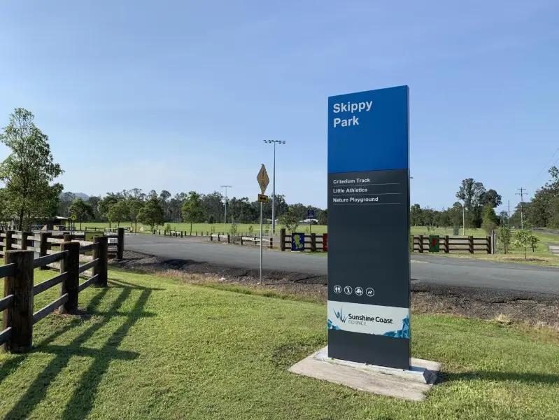
Skippy Park: Landsborough Criterium
Landsborough
Easy1.2 kmCircuit
4

Your Adventure Starts Here
Save favourites, plan trips, earn badges and share your trail photos with the community — free, in seconds.
Always free · Sign up in seconds
Printed from Adventure Sunshine Coast · https://adventures.sunshinecoast.qld.gov.au/trails/56943/woodgrove-ciruit
Always check current conditions and closures before you set out.