
Road Cycle Route: Bellthorpe Circuit
Amazing flowing climbs and views over the Glass house mountains as far as Brisbane.
Suitability
Suitable for experienced road cyclists with advanced skills riding in traffic and on rural roads with above average fitness. . Some road speeds are >60km/hr. Roads can be narrow and winding and most have narrow or no rideable shoulders. Advanced – includes 1200m of climbing.
Highlights
Get ready for a challenging climb on this hinterland ride. Leaving Landsborough you begin with a gentle ride to Beerwah then head onto Peachester Road as the climbing begins, gently at first and then a steep ascent through Bellthorpe National Park for unmatched views south to Glasshouse Mountains. Continue along the ridge to Maleny enjoying more stunning hinterland views. Stop in Maleny for a coffee and a snack before the downhill begins back to Landsborough through Bald Knob, with fast descents and sweeping corners. Watch for oncoming traffic on the narrow descent. This is a difficult ride with narrow winding roads but worth the challenge.
Afterwards
Landsborough although small has ample cafes and restaurants to refuel you after your ride, including the historic Landsborough Hotel. Stop at Australia Zoo on your way back.
How to get there
Starts and finishes at Landsborough near the railway station. Plenty of parking in the area. Located on the railway, Landsborough is an easy train ride up from Brisbane or a 15 minute drive from the Sunshine Coast.
IMPORTANT: On-road cyclists should always ride with caution and be aware that conditions can change at any time. Cyclists using rural roads may encounter heavy vehicles and should be aware that roads can be narrow and undulating with varying shoulder widths. Notify someone of your intended route and be prepared with water, food and sun protection.
About this place
- Suitable for walking
- Suitable for recreational cycling
- Walking track grade
- Grade 5
- An unformed track, likely to be very rough, very steep and unmarked. For very experienced bushwalkers with specialised skills.
Graded on the Queensland Parks walking track scale. Walk with care(opens in a new tab)
Seen a problem on this trail?
A fallen tree, a washed-out section, missing signs, or a detail on this page that's wrong: tell us and we'll look into it.
Safety
In an emergency, call 000. Always adventure safely!
- Always follow any local signage, it contains key information and conditions can change at any time.
- Use the trails with consideration for your abilities, be prepared for the adventure ahead:
- Be aware of the weather conditions, found here: Bureau of Meteorology — Queensland(opens in a new tab)
- Always wear appropriate clothing, focus on good footwear.
- Always bring more water than you think you will need.
- Be Sun Safe!
- Always let someone know where you are going that isn't going with you.
- Just getting started try this site for good useful information: Trail Hiking Australia — hike safety(opens in a new tab)
- Sunshine Coast Council does its best to keep this information current, but things change, so be aware that a trail may not be as listed here.
Reviews
No reviews yet. Be the first to share your experience of this trail.
Nearby trails
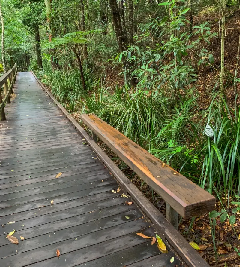
- Walking
Maleny Boardwalk: Platypus Walk
Maleny
Easy0.8 kmOne-way
4.5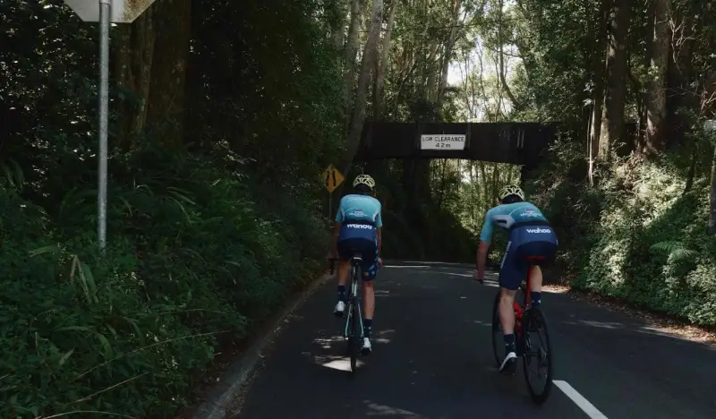
Your Adventure Starts Here
Save favourites, plan trips, earn badges and share your trail photos with the community — free, in seconds.
Always free · Sign up in seconds
Printed from Adventure Sunshine Coast · https://adventures.sunshinecoast.qld.gov.au/trails/56533/road-cycle-route-bellthorpe-circuit
Always check current conditions and closures before you set out.