
Beerwah State Forest: Bora Ring
Glass House Mountains Lookout day use area no longer has BBQ's facilities. Applies: 20 August 2026 to 21 February 2027
Read the alert on Queensland ParksVisit an ancient aboriginal meeting site.
- As of August 2020 access road is rough and may not be passible for 2wd cars.
Suitability
Suitable for all ages and abilities.
Highlights
A peaceful break from driving – a silent spot - with explanatory signage
This aboriginal bora ring (or Durn) is well maintained and easy to access. Bora Rings were used for gatherings, dancing, and ceremonies such as male initiation.
You will notice an inner Bora Ring that is somewhat depressed in the ground. This would have been used only by men. There is no longer evidence of a larger outer ring. Out of respect for Country and tradition please do not enter the Bora Ring. Because of adjoining property, it is not possibly to circumnavigate the Ring
Many native trees are in the vicinity, including Black Wattle, Bottlebrush and Banksia, along with a generous pine plantation
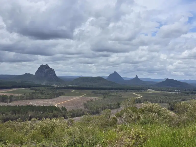
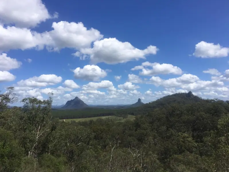
From this location there are views to the northwest with the Blackall Range and the Glasshouse Mountains in the distance.
Afterwards
There is another aboriginal cultural site not far away near Landsborough – an axe grinding site. You can find it on this Sunshine Coast Adventures guide
How to get there
From the M1, halfway between Caboolture and Caloundra, take the Johnston Road / Wild Horse Mountain exit and head west (inland). Follow this road for approx. 2 km. Watch for the dirt road to the right with a low national park ‘Bora Ring’ sign.
Take this road which heads north and then bends around to the East. The Bora Ring is approximately 700 metres from the turnoff, and opposite the pine plantation. This unsealed road may become slippery with rain.
About this place
- Suitable for walking
- Walking track grade
- Grade 1
- Flat and well formed with no steps, and no longer than 5km. Signposted the whole way, and suitable for a wheelchair with someone to help.
Graded on the Queensland Parks walking track scale. Walk with care(opens in a new tab)
- Managed by
- Queensland Parks and Wildlife Service
- Beerwah State Forest(opens in a new tab)
To report damage, a hazard or another problem with the trail:
Safety
Check park alerts before you go
Beerwah State Forest is managed by Queensland Parks and Wildlife Service. Check their park alerts for closures and track conditions. Park alerts in the Sunshine Coast region(opens in a new tab)
In an emergency, call 000. Always adventure safely!
- Always follow any local signage, it contains key information and conditions can change at any time.
- Use the trails with consideration for your abilities, be prepared for the adventure ahead:
- Be aware of the weather conditions, found here: Bureau of Meteorology — Queensland(opens in a new tab)
- Always wear appropriate clothing, focus on good footwear.
- Always bring more water than you think you will need.
- Be Sun Safe!
- Always let someone know where you are going that isn't going with you.
- Just getting started try this site for good useful information: Trail Hiking Australia — hike safety(opens in a new tab)
- Sunshine Coast Council does its best to keep this information current, but things change, so be aware that a trail may not be as listed here.
Reviews
No reviews yet. Be the first to share your experience of this trail.
Nearby trails
- Walking
- Mountain Biking
- Horse Riding
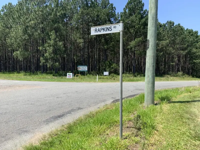
Rapkins Road Trail (West of M1)
Beerburrum
Difficult7.1 kmCircuit
- Walking
- Mountain Biking
- Horse Riding
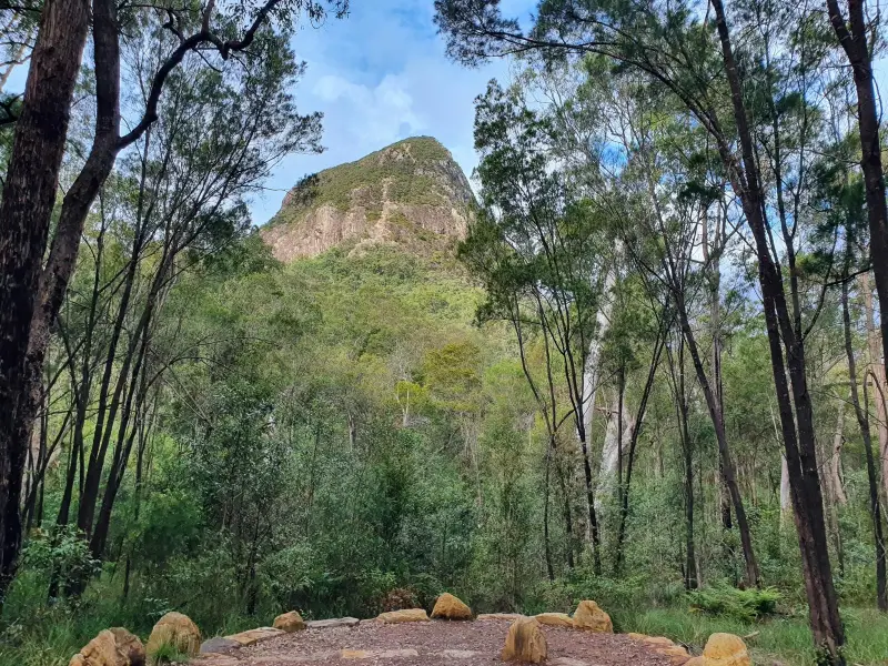
Ramms Road Trail (East of M1)
Beerburrum
Difficult15.0 kmCircuit
Your Adventure Starts Here
Save favourites, plan trips, earn badges and share your trail photos with the community — free, in seconds.
Always free · Sign up in seconds
Printed from Adventure Sunshine Coast · https://adventures.sunshinecoast.qld.gov.au/trails/48912/beerwah-state-forest-bora-ring
Always check current conditions and closures before you set out.