
Rapkins Road Trail (West of M1)
A mostly shaded trail and figure 8 type circuit through established pine plantation.
Suitability
Particularly suited to horse riders and mountain bikers.
Highlights
This trail in Beerburrum East State Forest (West of the M1) has been mapped as a suitable route for horseriders and mountain bikers on mostly level ground. Note: you may at times have to share the trails with 4WD vehicles and trailbike riders.
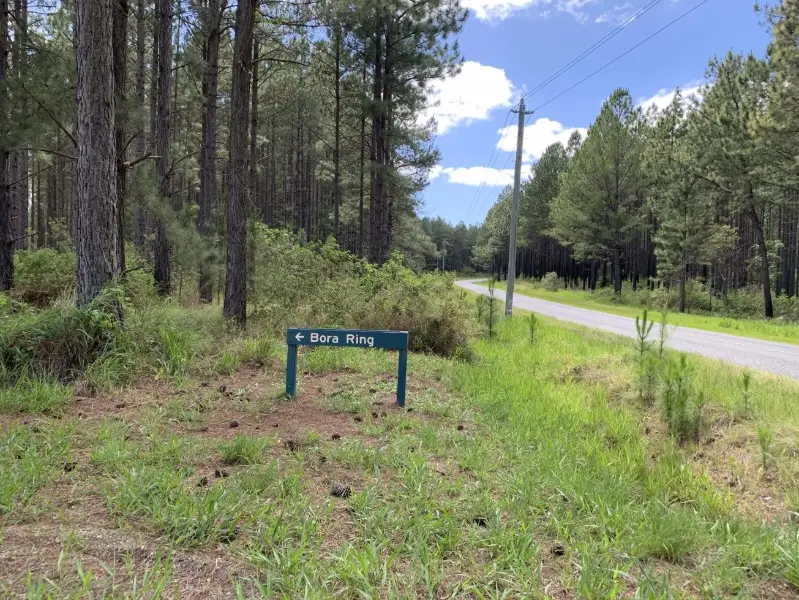
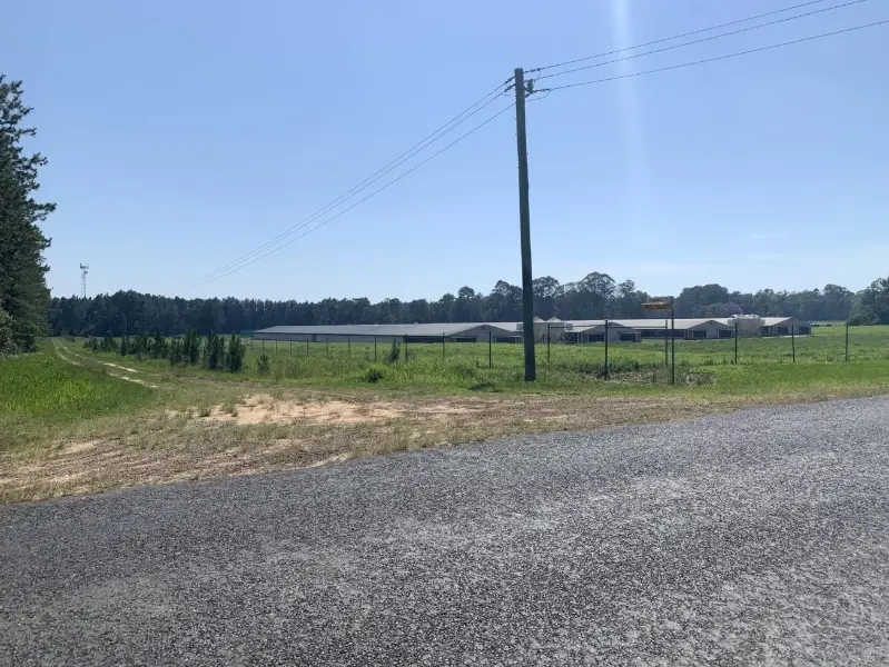
From the starting point head along Rapkins Road and after a few hundred metres you will cross Tibrogargan Creek, which is a good watering point for your horses. Leaving the creek you will follow Rapkins Road up a rise for about 200m till you come to a trail on your right. Follow that trail around to your right on a loop through pine plantation that will bring you back to cross Rapkins Road. Heading west you will come across numerous trails – about 10 that dissect each other. The mapped route takes you on a shaded forestry trail that comes out about 50 metres before Johnston Road. Here the views open up to pineapple farms. At this point head right and follow the trail for about 100 metres and then at another trail intersection, turn to the right and follow this trail for just over 1 km till you hit Rapkins Road. Head south to your starting point.
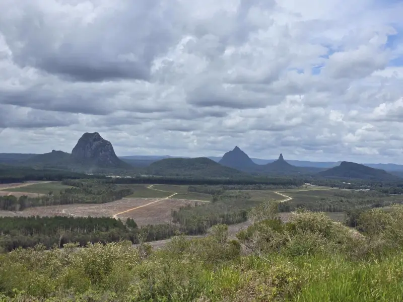
As you travel through the pines you are likely to see kurrawongs and kookaburras. Due to the pine tree density and height of trees there are no scenic views of the Glass House Mountains.
Afterwards
Other areas close by that are suitable for horse riding include: Forestry Road, Landsborough; Roys Road, Beerwah; Ramms Rd, Beerburrum; and Old Gympie Rd, Beerburrum.
For refreshments, Beerburrum has the closest cafe, with Glass House Mountain township just up the road.
How to get there
To the starting point: Rapkins Road is a quiet road with opportunities for float parking along its edge. From Beeburrum, when you are on the Steve Irwin Way, turn into Red Road (directly opposite Beeburrum Road). There is a sign for Red Road atop of the Mt Beerburrum Lookout Sign. Head east on Red Road for about a few hundred metres and turn left into Logie Road and about 100 metres later turn right into Rapkins Road. Travel 2 km down Rapkins Road and you will reach a triangular 3-way intersection where you can turn around and park your float off the road on level ground. The trail starts from here.
To the end point. The end point is the same as the starting point.
About this place
- Suitable for walking
- Suitable for mountain biking
- Suitable for horse riding
- Walking track grade
- Grade 4
- A rough track, possibly long and very steep, with few signs to follow. Suited to experienced bushwalkers.
Graded on the Queensland Parks walking track scale. Walk with care(opens in a new tab)
- Managed by
- Queensland Parks and Wildlife Service
To report damage, a hazard or another problem with the trail:
Safety
Hazards on this trail
Trail not marked or sign posted. Follow mapped route. Be alert to 4WD and trail bike riders who might be using the tracks.
Check park alerts before you go
This trail is managed by Queensland Parks and Wildlife Service. Check their park alerts for closures and track conditions. Park alerts in the Sunshine Coast region(opens in a new tab)
In an emergency, call 000. Always adventure safely!
- Always follow any local signage, it contains key information and conditions can change at any time.
- Use the trails with consideration for your abilities, be prepared for the adventure ahead:
- Be aware of the weather conditions, found here: Bureau of Meteorology — Queensland(opens in a new tab)
- Always wear appropriate clothing, focus on good footwear.
- Always bring more water than you think you will need.
- Be Sun Safe!
- Always let someone know where you are going that isn't going with you.
- Just getting started try this site for good useful information: Trail Hiking Australia — hike safety(opens in a new tab)
- Sunshine Coast Council does its best to keep this information current, but things change, so be aware that a trail may not be as listed here.
Reviews
No reviews yet. Be the first to share your experience of this trail.
Nearby trails
- Walking
- Mountain Biking
- Horse Riding
Ramms Road Trail (East of M1)
Beerburrum
Difficult15.0 kmCircuit

Your Adventure Starts Here
Save favourites, plan trips, earn badges and share your trail photos with the community — free, in seconds.
Always free · Sign up in seconds
Printed from Adventure Sunshine Coast · https://adventures.sunshinecoast.qld.gov.au/trails/51313/rapkins-road-trail-west-of-m1
Always check current conditions and closures before you set out.