
Jill Chamberlain Nature Refuge
A recovering bush land on a slope in the back of Caloundra West and a grazing ground for grey kangaroos.
Suitability
Suitable for walkers of some experience and mountain bikers.
Highlights
This important refuge was purchased by Caloundra Council in 2004 to safeguard an important habitat and food source for black cockatoos, the swordgrass brown butterfly, koalas and grey kangaroos. Dogs must be on leash at all time for the protection of native animals.
The park was named in honour of Jill Chamberlain, a local environmental activist who has campaigned for nature cause for over 30 years.
This walk will take you along the western perimeter before entering the bushland (mostly she-oaks) and slowly ascending the hill. You will come out to an open grassy section with powerlines running across it. Here you are likely to see kangaroos grazing. You can continue straight ahead and up to reach Old Caloundra Road. To do the marked route, turn right and head down hill, over some rocky fill and past a palm gully before swinging around to your right and following a path alongside the eastern boundary. You could well see more kangaroos on the fields to your east. The well-worn path leads straight to the metal fence where it’s an easy climb through and short return to your starting point.
Afterwards
From Jill Chamberlain Nature Reserve is you head west along the grasslands you will come to a green parkland corridor that leads south to Canavan Gracie Recreation Park and Little Mountain Common. Caloundra eateries and beaches are only a few kilometres away – a great spot for a dip and bite to eat. Mountain biikers, Sugar Bag Road Mountain Bike Trails are just minutes away with plenty of trails to choose from.
How to get there
To the starting point: The Jill Chamberlain Nature Refuge (31.45ha) borders Caloundra Road, approximately 3 km west of Caloundra and 6km east of the M1 Caloundra Road turn-off.
While there are multiple entry points the best place to start is at the end of Winchester Rd. Heading along Caloundra Road turn south into Ridgewood Rd and follow it around the corner and head to the end of the road parking on the side of the road near the gate.
You can also access the reserve from: the top via Old Caloundra Road (runs parallel to Caloundra Road); from west off of Bellvista Road.
To the end point. In this instance the end point is your starting point, however you could choose to walk through the Refuge as part of a longer circuit from another start point.
About this place
- Suitable for walking
- Walking track grade
- Grade 3
- A formed track with some obstacles, up to 20km. Expect short steep sections and plenty of steps. Some walking experience helps.
Graded on the Queensland Parks walking track scale. Walk with care(opens in a new tab)
- Managed by
- Sunshine Coast Council
To report damage, a hazard or another problem with the trail:
Safety
Hazards on this trail
Some sections of this walk have gullies filled with quarried rock- an uneven surface - watch your ankles here and at the Mtb dug-outs in lower section (just off this route)
In an emergency, call 000. Always adventure safely!
- Always follow any local signage, it contains key information and conditions can change at any time.
- Use the trails with consideration for your abilities, be prepared for the adventure ahead:
- Be aware of the weather conditions, found here: Bureau of Meteorology — Queensland(opens in a new tab)
- Always wear appropriate clothing, focus on good footwear.
- Always bring more water than you think you will need.
- Be Sun Safe!
- Always let someone know where you are going that isn't going with you.
- Just getting started try this site for good useful information: Trail Hiking Australia — hike safety(opens in a new tab)
- Sunshine Coast Council does its best to keep this information current, but things change, so be aware that a trail may not be as listed here.
I found this very easily via the Adventure website after selecting the adventure I wanted and searching the map for what was close to me. The trail is a little bit off the beaten track, but does have have access via surrounding streets to the various entrances. There is pretty much an entrance from north, south, east and west. The size of the trail does vary at different points. Some of it is wide and you could walk three across, while some is single file only to wide open areas you could play a football game. Condition varies as well. I walked through knee high grass at one point, that opened to track that was loose broken rocks, that eventually lead to a gravel/sand track, which changed to grass again. Some tracks weren’t as defined as much as others. I travelled this track not long after rain and it wasn’t too bad. Some mozzies and wet/puddles was expected. You can hear the birds in the bush more than see them, but if lucky you can catch a glimpse of the local kangaroos. The description on the website is pretty much, bang on. I’d recommended the track, as it’s quiet, besides wild life and there are various tracks, so you can do different ones or explore a bit more.
Nearby trails
- Walking
- Cycling
- Mountain Biking
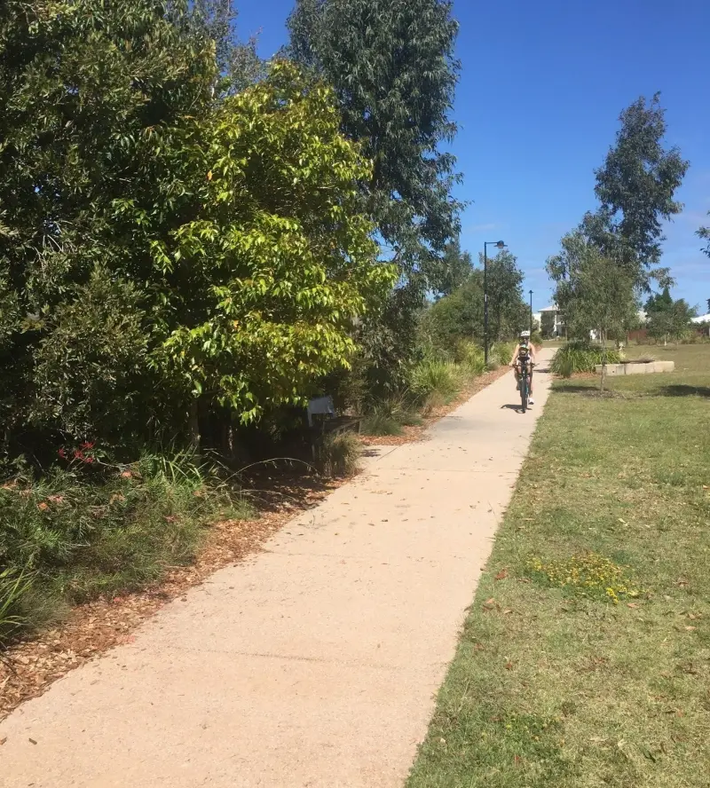
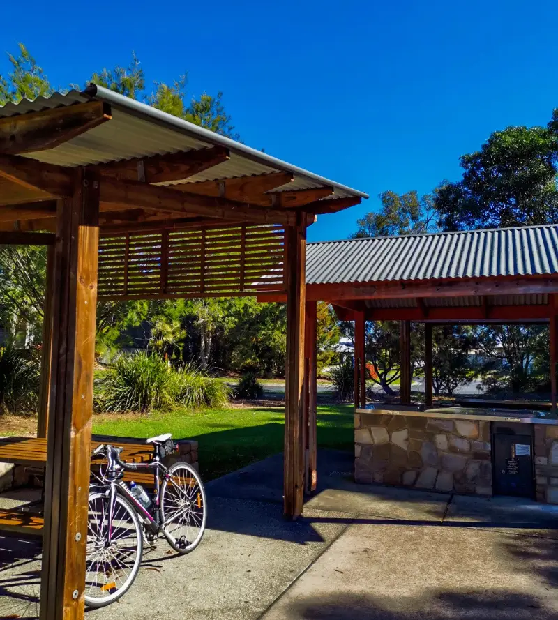
Little Mountain Cycle Circuit
Little Mountain
Easy2.3 kmCircuit
- Walking
- Cycling
- Mountain Biking
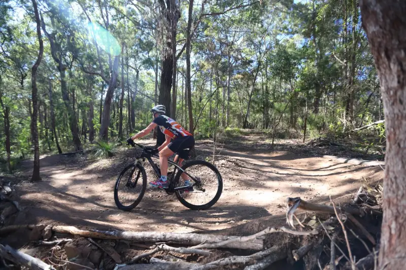
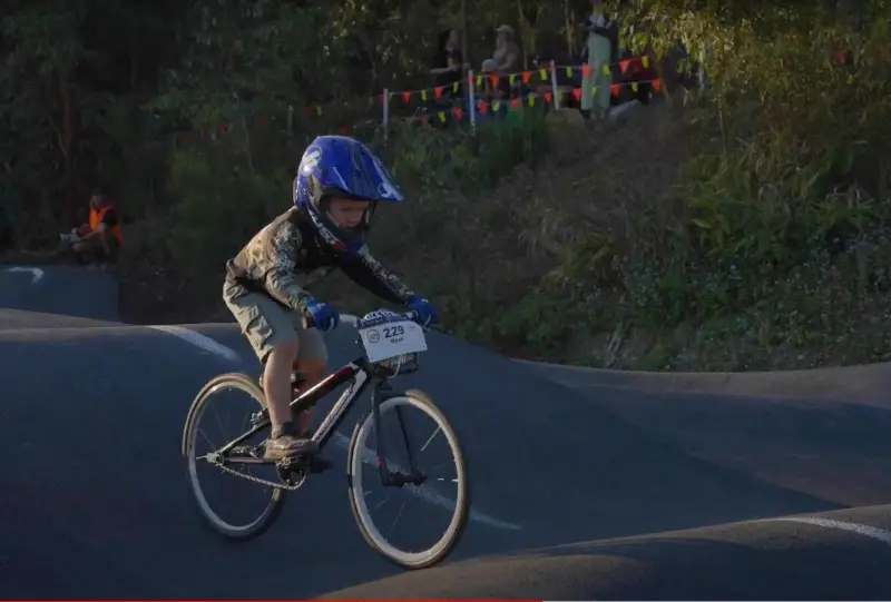
Sugar Bag Mountain Bike Trails: Pump Track
Intermediate0.2 kmCircuit
- Walking
- Cycling
Baringa North Side Playground Loop
Baringa
Easy3.3 kmCircuit
Your Adventure Starts Here
Save favourites, plan trips, earn badges and share your trail photos with the community — free, in seconds.
Always free · Sign up in seconds
Printed from Adventure Sunshine Coast · https://adventures.sunshinecoast.qld.gov.au/trails/52113/jill-chamberlain-nature-refuge
Always check current conditions and closures before you set out.