
Elanda Point, Mill Point: various walks
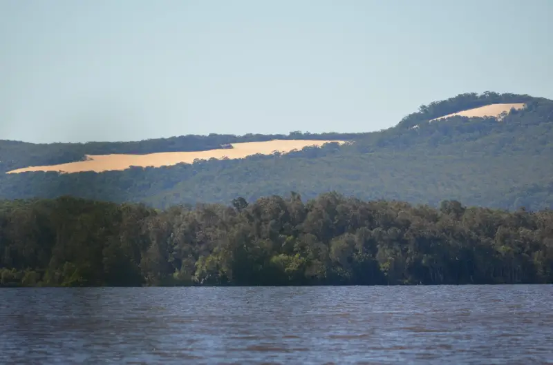
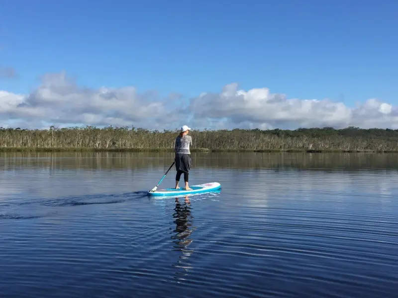
Explore the shoreline, historic sites and bushlands bordering the scenic waterways of the upper Noosa River and Lake Cootharaba.
Suitability
Suitable for walkers with a variety of walks are on offer, mostly flat, just different lengths.
Highlights
In this area, tracks range from a 5.1 km return circuit via the historic Mills Point, to walks up to 12km to Fig Tree Point and Harry’s Hut adjacent to the Noosa River system.
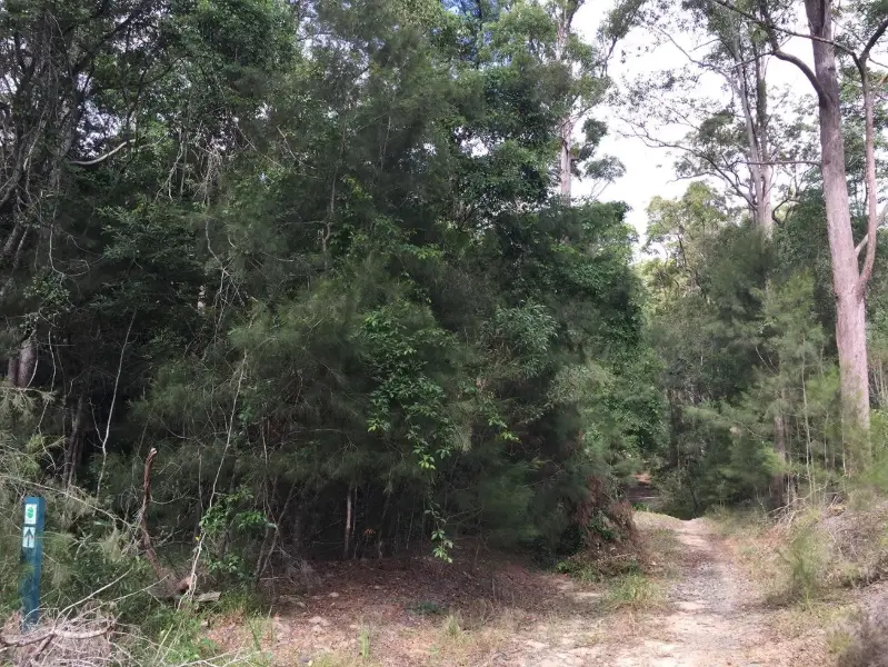
For a taste of this area there is a little flat loop from the public carpark through re-vegetated forestry land, past a pretty pond where you may see waterbirds. The Mill Point cemetery memorial stone is not too far further along but be aware there are nearly no remnants to see on this loop, and it can be boggy at times. It’s a good idea to take bug spray with you to ward off mossies.
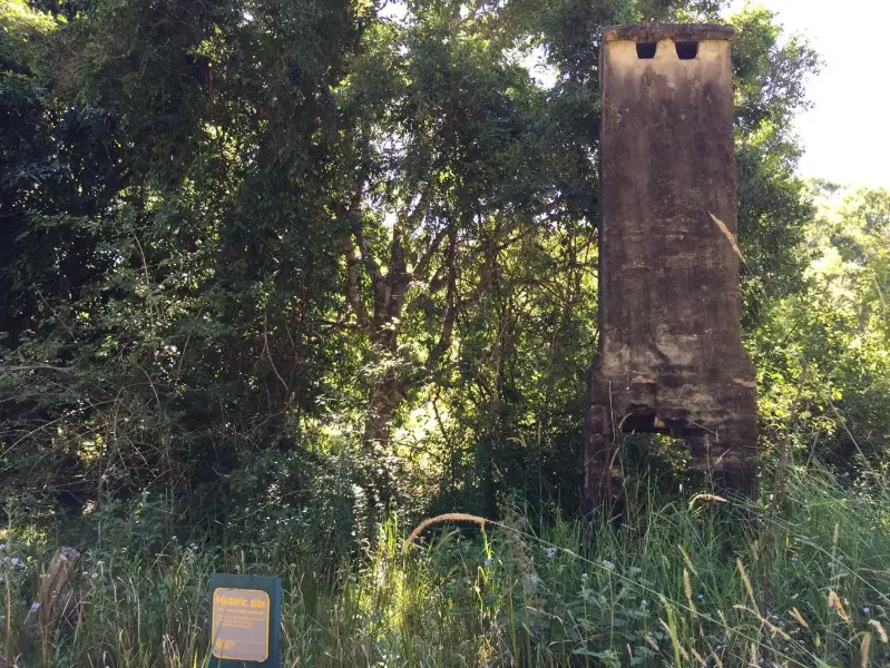
Mill Point proper is better accessed from the new Elanda Point bar and bistro called Cootharabar, as the route is drier walking. Mill Point is a heritage-listed site that encompasses the early settlers sawmill and small township, believed to be home to over 100 people at its peak in the 1800s. It was set up to harvest timbers initially felled in Gympie and brought to Mill Point to be timbered before putting on barges to be taken down Noosa River. Interpretive plaques and ruins reveal the hardships suffered by these early settlers. There’s an old chimney by a big mango tree, the lid of a well, some tankstands and an old boiler by the beach and tram lines into the lake. You’ll also see a fascinating fig tree whose roots rise from more ruins. And you can often see a variety of butterflies in this vicinity.
Afterwards
From Mill Point you can continue on the Kinaba Walk to the Kinaba Visitor Centre walk .( From Elanda point this is 12.2km return, so plan before hand.)
Alternatively head back to Cootharabar for refreshments at this boutique brewery and cafe / restaurant. Other facilities there include a canoe launch, a children’s high ropes course, camping huts, toilets and showers and a flat grassy area to play or enjoy your own picnic. If you like you could also jump in the car and head back to Boreen Point township where there is the famous Apollonian Hotel.
How to get there
To the starting point: Take Louis Bazzo Drive to Boreen Point and instead of driving into the Township drive straight ahead onto Lake Flat Rd. When the road does a 90 degree turn to the left go straight ahead along a dirt road to Elanda Point.
On the right hand side there is a public car park where most of the walks start – or you can continue on a little further to Habitat Noosa’s Everglades ecocamp and Cootharabar restaurant and start from there.
To the end point: For shorter walks, the end point is the same as your starting point. For longer walks you can choose to make them one way and do a car shuttle.
About this place
- Suitable for walking
- Dogs prohibited
- Picnic table on site
- Toilets on site
- Camping permitted
- Walking track grade
- Grade 2
- A formed track with gentle hills and the occasional step. Clearly signposted, and no walking experience needed.
Graded on the Queensland Parks walking track scale. Walk with care(opens in a new tab)
- Managed by
- Queensland Parks and Wildlife Service
- Great Sandy National Park(opens in a new tab)
To report damage, a hazard or another problem with the trail:
Safety
Hazards on this trail
Some drains
Queensland Parks alerts
Great Sandy National Park is managed by Queensland Parks and Wildlife Service. These are their current alerts for the park, and some may be about other parts of it. Park alerts in the Sunshine Coast region(opens in a new tab)
The Cooloola Great Walk, including all associated walkers' camps, will be seasonally closed from 1 December 2026 to 28 February 2027.
Read the alert on Queensland ParksQPWS rangers and contractors will be conducting a feral animal control program from 31 October 2026 through to 28 November 2026 within the Teewah Beach and Freshwater camping areas. Firearms, poisons or traps may be in use. Applies: 31 October to 28 November 2026
Read the alert on Queensland ParksThe Kin Kin Creek pedestrian bridge, which links Elanda Point to Figtree Point on the Cooloola Wilderness Trail, has been washed away during previous flood events. As a result, there is no pedestrian access across Kin Kin Creek currently. Applies: 14 January 2026 to 14 January 2027
Read the alert on Queensland ParksWalkers on the Cooloola Wilderness Trail are advised of water across the track in multiple sections Applies: 8 September to 8 November 2026
Read the alert on Queensland ParksA QPWS imposed fire prohibition is in place in the Cooloola Recreation Area, except at Poverty Point camping area. Camp fires must not be lit anywhere else in the recreation area including in the Teewah Beach camping zones 1-7. Applies: 1 April 2021 to 3 July 2027
Read the alert on Queensland ParksDeep hole formations which may restrict access to and from Double Island Point Applies: 5 December 2025 to 5 December 2026
Read the alert on Queensland ParksRecent flooding events in the Upper Noosa River have caused damage to the southern day-use jetty at Campsite 3. The jetty has been closed until repairs can be completed. Applies: 24 April to 24 October 2026
Read the alert on Queensland ParksExposed sand cliffs and dunes along Teewah Beach, Rainbow Beach and Double Island Point are unstable and can collapse without warning. Applies: 28 March 2025 to 25 March 2027
Read the alert on Queensland ParksIn an emergency, call 000. Always adventure safely!
- Always follow any local signage, it contains key information and conditions can change at any time.
- Use the trails with consideration for your abilities, be prepared for the adventure ahead:
- Be aware of the weather conditions, found here: Bureau of Meteorology — Queensland(opens in a new tab)
- Always wear appropriate clothing, focus on good footwear.
- Always bring more water than you think you will need.
- Be Sun Safe!
- Always let someone know where you are going that isn't going with you.
- Just getting started try this site for good useful information: Trail Hiking Australia — hike safety(opens in a new tab)
- Sunshine Coast Council does its best to keep this information current, but things change, so be aware that a trail may not be as listed here.
Reviews
No reviews yet. Be the first to share your experience of this trail.
Nearby trails

Your Adventure Starts Here
Save favourites, plan trips, earn badges and share your trail photos with the community — free, in seconds.
Always free · Sign up in seconds
Printed from Adventure Sunshine Coast · https://adventures.sunshinecoast.qld.gov.au/trails/26024/elanda-point-mill-point-various-walks
Always check current conditions and closures before you set out.