
Tewantin National Park: Lake MacDonald North.
Explore some pleasant parkland and bushland just outside of Cooroy.
Suitability
Suitable for walkers, mountain bikers and horse-riders – though check signage to ensure you can go through the forest – otherwise you can take Collwood Road.
Highlights
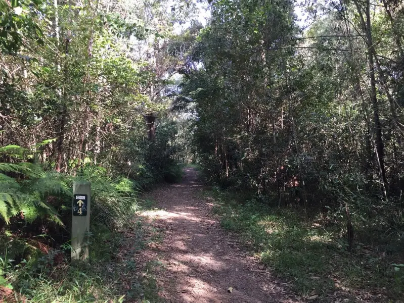
Here is a pleasant trail without much elevation, or worry of wandering too far. This section of Tewantin National Park on the northern end of Lake MacDonald is big enough to feel wild but small enough that you can exit under half an hour in any direction. Crossing 6 mile creek adds to the adventure, but is easy enough to shortcut if you don’t want to get wet.
The Noosa Botanical Gardens are definitely worth a visit and Cooroora Scout Camp has very basic camping on the lakeshores
Afterwards
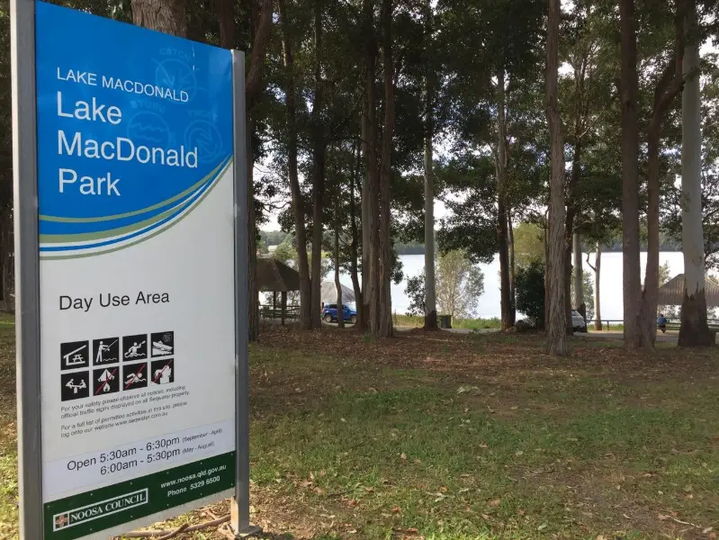
Starting and finishing near Lake MacDonald gives the option of a paddle after as well or a picnic by the Lake’s shores. Note there is no swimming in the lake.
Copperhead microbrewery and Cooroy township and cafes (on either side of the railway) are only a few minutes drive away.
How to get there
To the starting point: From Cooroy follow Lake MacDonald Drive to the Noosa Botanical Gardens. You can start this adventure and return from here. Or turn right into Collwood Road and choose your starting point. Kookaburra Park is located at the junction of Lake Macdonald Dive and Coollwood Road. The marked pin starting point is along further and to your left in Clearview Drive. Horseriders park your float a few hundred metres down Collwood Road at Mary River Cod Park.
To the end point: The end point is the same as the starting point. The route can be as long or as short as you want to make it.
About this place
- Suitable for walking
- Suitable for mountain biking
- Camping permitted
- Walking track grade
- Grade 3
- A formed track with some obstacles, up to 20km. Expect short steep sections and plenty of steps. Some walking experience helps.
Graded on the Queensland Parks walking track scale. Walk with care(opens in a new tab)
- Managed by
- Queensland Parks and Wildlife Service
- Tewantin National Park(opens in a new tab)
To report damage, a hazard or another problem with the trail:
Safety
Hazards on this trail
Vines. Crossing 6Mile Creek, and several smaller watercourses
Check park alerts before you go
Tewantin National Park is managed by Queensland Parks and Wildlife Service. Check their park alerts for closures and track conditions. Park alerts in the Sunshine Coast region(opens in a new tab)
In an emergency, call 000. Always adventure safely!
- Always follow any local signage, it contains key information and conditions can change at any time.
- Use the trails with consideration for your abilities, be prepared for the adventure ahead:
- Be aware of the weather conditions, found here: Bureau of Meteorology — Queensland(opens in a new tab)
- Always wear appropriate clothing, focus on good footwear.
- Always bring more water than you think you will need.
- Be Sun Safe!
- Always let someone know where you are going that isn't going with you.
- Just getting started try this site for good useful information: Trail Hiking Australia — hike safety(opens in a new tab)
- Sunshine Coast Council does its best to keep this information current, but things change, so be aware that a trail may not be as listed here.
Reviews
No reviews yet. Be the first to share your experience of this trail.
Nearby trails

- Walking
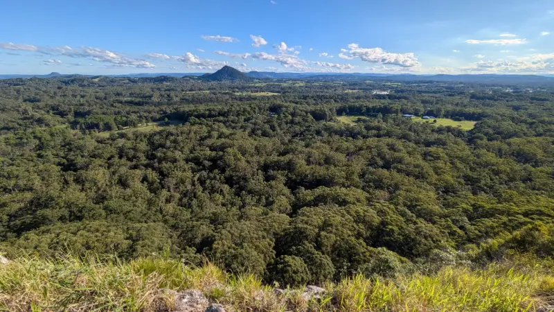
Tewantin National Park: Mount Tinbeerwah
TINBEERWAH
Easy0.5 kmOne-wayDogs prohibited
5
Your Adventure Starts Here
Save favourites, plan trips, earn badges and share your trail photos with the community — free, in seconds.
Always free · Sign up in seconds
Printed from Adventure Sunshine Coast · https://adventures.sunshinecoast.qld.gov.au/trails/23220/tewantin-national-park-lake-macdonald-north
Always check current conditions and closures before you set out.