
Coolum to Emu Mountain
Gain some height and enjoy 360 degree views of the coast and hinterland from this 70 metre peak.
Suitability
Suitable for walkers, joggers. This adventure starts outside the National Park but does go into the park please follow National Park Regulations on this adventure.
Highlights
A very nice way to see Coolum from above after seeing it from street level. Set off on a short walk to Hakea track that begins behind the sporting grounds. The track approaches Emu Mountain at a steady slight rise, past tall melaleuca swamp, then squat scribbly gums, and eventually into an open heath with the whole mountain visible. (This is after you have have passed a small settlement of houses off to your right in the distance.)
At the first Y junction go left. Once you get to the second Y junction you have 2 choices: Go right up the steep and scrabbly slope straight up to the summit (as per our accompanying orange trail marker). An easier approach is to stay left on Hakea path till you get to the next junction and take an easier link route that winds to the same summit track.
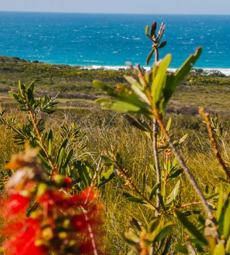
Once you get to the top enjoy the rewarding views. You can see Mount Coolum to the South and the Noosa Headland to the North.
It is also possible to descend to the north and return to Coolum via David Low shared pathway or via the beach. See below.
Afterwards
Make this a circuit route by descending on the north side onto Havana Road East.
About 500 metres south of Havana Road on the coast side is an unnamed road (Ocean Beach walk) that will take you out to the beach (about 500 ms). At the beach you can walk all the way back to Coolum Beach (southwards, past Stumers Creek). It’s approximately 3 km along the beach to Coolum. Alternatively you can walk north to Peregian, also approximately 3 km away.
Alternatively, after descending on the Northside of the mountain head west into Peregian Sprints. There are pathways there and some bush tracks as well.
How to get there
There are multiple tracks that can you can take to the top of Emu Mountain. If you are driving or walking you can access the route from side roads off David Low Way (namely Tritonia Drive, Kanooka Avenue or Havana Rd East.)
The accompanying red marked trail gives you a longer outing by starting just north of the Coolum Beach Surf Club. It follows a shared walk/cycle way north till you get to the sports complexes past Stumer’s creek. The trail takes you down the driveway to the Coolum Peregian Sports Complex, across the end oval to connect with Hakea trail that heads west before heading up the mountain via the Summit Link Trail.
To the end point: The end point is the same as your starting point. You can make it a there and back excusion but you can also do a circuit by heading down the mountain on the northside, heading towards the coast on Havana Road East. Once you hit David Low Way there is is a cement cycle/walking path that runs beside it, which will take you back to Coolum Beach.
About this place
- Suitable for walking
- Dogs prohibited
- Drinking water available
- Picnic table on site
- Toilets on site
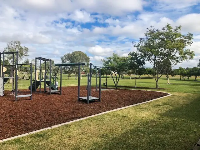
- Playground on site
- Walking track grade
- Grade 4
- A rough track, possibly long and very steep, with few signs to follow. Suited to experienced bushwalkers.
Graded on the Queensland Parks walking track scale. Walk with care(opens in a new tab)
- Managed by
- Queensland Parks and Wildlife Service
- Noosa National Park(opens in a new tab)
To report damage, a hazard or another problem with the trail:
Safety
Hazards on this trail
A steep rugged climb, but it can be bypassed
Check park alerts before you go
Noosa National Park is managed by Queensland Parks and Wildlife Service. Check their park alerts for closures and track conditions. Park alerts in the Sunshine Coast region(opens in a new tab)
In an emergency, call 000. Always adventure safely!
- Always follow any local signage, it contains key information and conditions can change at any time.
- Use the trails with consideration for your abilities, be prepared for the adventure ahead:
- Be aware of the weather conditions, found here: Bureau of Meteorology — Queensland(opens in a new tab)
- Always wear appropriate clothing, focus on good footwear.
- Always bring more water than you think you will need.
- Be Sun Safe!
- Always let someone know where you are going that isn't going with you.
- Just getting started try this site for good useful information: Trail Hiking Australia — hike safety(opens in a new tab)
- Sunshine Coast Council does its best to keep this information current, but things change, so be aware that a trail may not be as listed here.
Easy parking and access to the walking track, excellent views from the peak with beautiful native flowers and plants on the track, not as taxing a walk as Mount Coolum but with rewarding views for walkers starting out exploring the Sunshine Coast. Darren
Nearby trails
- Walking
- Mountain Biking
Coolum: Stumers Creek to Magenta Drive Park
Coolum Beach
Easy3.4 kmCircuit
Your Adventure Starts Here
Save favourites, plan trips, earn badges and share your trail photos with the community — free, in seconds.
Always free · Sign up in seconds
Printed from Adventure Sunshine Coast · https://adventures.sunshinecoast.qld.gov.au/trails/10012/coolum-to-emu-mountain
Always check current conditions and closures before you set out.